Lanes
A lane is a single drivable strip within a road, defined relative to the road’s center line (left or right in OpenDRIVE).
Each lane has an ID, type, markings, and width, and it connects to predecessor and successor lanes to define how traffic flows through the network.
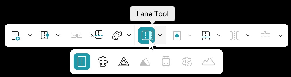
Add / Delete Lanes
Use the Add/Delete Lane option in the Road Tool Bar to add or delete lanes. When the Lane tool is selected, Add Lane is enabled by default.
| Action | Description |
|---|---|
| Add lane | 1. Select a road from the canvas (Lane Tool will become active). 2. Select the Lane Tool (Add Lane is active by default). 3. Click on either the left or right side of the reference line to add a lane. 4. The lane will be added to the road’s lane structure. |
| Delete lane | 1. Select a road from the canvas (Lane Tool will become active). 2. Select the Lane Tool. 3. Open the dropdown and choose Delete lane. 4. Left-click on the lane you want to remove. |
Warning
This updates OpenDRIVE lane indices and may break junction links, so connectivity should be rechecked after deletion.
Lane Direction and Rules
| Category | Description |
|---|---|
| Direction of Travel | Arrows appear on the lane when a road is selected and hovered, showing the Lane’s direction relative to the reference line. |
| Lane Indexing | Lane indexing follows OpenDRIVE conventions: • Negative indices represent lanes to the left of the reference line. • Positive indices represent lanes to the right of the reference line. • Index 0 represents the reference line itself. |
| Restricted / Forbidden Lanes | Any forbidden or restricted lanes should be clearly documented in the scenario description, not just visually represented in the drawing. |
Relationships
- Each lane is part of a lane section along the road.
- Lane markings define and separate individual lanes.
- Lane offset and width tags together describe how lane shape changes along the road.